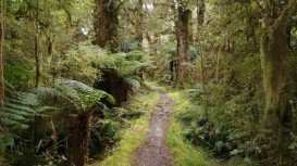
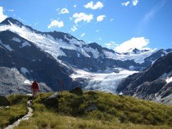
Kepler Track, Te Anau
Te Anau is a small town, situated in Fiordland region, in the South Island of New Zealand.
Home > MOUNTAIN SPORTS > Backpacking / Trekking > Lyons Reservoir, Sonora
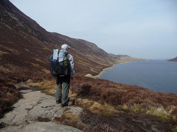
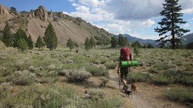
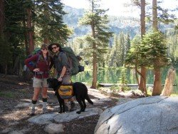
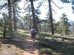
Trails are spread everywhere across the mountains. There is something for everyone in the Sonora Pass region, as there are all kind of trails, easy, intermediate and high elevation and also long day adventures. One of the best trails to go backpacking is Twain Harte to Lyons Reservoir – Railroad Grade.
It is a 4.5 mi/7.24 km, moderate trail with elevation gain of 200 ft/61 m. It is a gentle trail to Lyons Reservoir, that follows an old Sugar Pine Railroad grade. In early spring, it usually opens at an elevation of 4000 ft/1219 m. Lyons is a beautiful lake to visit. Hike around the lake on an easy level trail across the dam.
At the south end of the lake is the dam, which has a dramatic spill way, draining the lake into a magnificent picturesque canyon below the dam. In late summer and fall the lake drops, as the water is used by the Tuolumne water district. You can camp near and around the lake.
Te Anau is a small town, situated in Fiordland region, in the South Island of New Zealand.
Mount Shasta is located in northern California, east of Interstate 5 along SR89, between Mount Shasta city and McCloud city, California, USA.
Cromwell is a small town, situated in Otago region, in the South Island, New Zealand. It lies on the shores of Lake Dunstan and is located only at 34 mi/55 km from Wanaka and 38 mi/62 km from Queenstown.
Bali is a province in Indonesia with a few neighboring islands including the Isle of Bali. The island of Bali lies at about 8 degrees/ 0.13 radians on the south of equator and at 3.2 km/1.9 mi from Java. It is surrounded by coral reefs with white sand beaches on the south and black sand beaches on the north and the west of the island.
Te Anau is a small town, situated in Fiordland region, in the South Island of New Zealand.
Located almost at 150 km/93 mi from Nairobi City, Mt. Kenya is located just south of the equator, offering three climbing routes, namely Naro-Moru, Sirimon and Chogoria. Mt. Kenya has magnificent cliffs and glaciers that protect the highest peaks. Highest peaks here are Batian at 5199 m/17057 ft, Nelion at 5188 m/17021 ft and Point Lenana at 4985 m/16355 ft.
Mount Shasta is located in northern California, east of Interstate 5 along SR89, between Mount Shasta city and McCloud city, California, USA.
Mammoth Lakes is located near Mammoth Mountain, in California’s eastern Sierra about 100 mi/161 km south of Nevada State Line, 9 mi/14.5 km northwest of Mount Morrison, at an elevation of 7880 ft/2402 m, Mono County, California, USA.
Bear Valley is a ski area located near Angels Camp, on highway 4, between Lake Tahoe and Yosemite, approximately 3 hours southeast of Sacramento, California, USA.
Lake Shasta Caverns is located in northern California, east of Interstate 5 along SR89, between Mount Shasta city and McCloud city, California, USA.
Bear Valley is a ski area located near Angels Camp, on highway 4, between Lake Tahoe and Yosemite, approximately 3 hrs southeast of Sacramento, California, USA.
Sonora Pass is located near Pinecrest, Tuolumne County, California, USA. It is off of Highway about 60 mi/96.5 km east of Sonora.
Mount Shasta is located in northern California, east of Interstate 5 along SR89, between Mount Shasta city and McCloud city, California, USA.