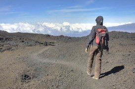
Ebbetts Pass, Angels Camp
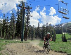
Bear Valley is a ski area located near Angels Camp, on highway 4, between Lake Tahoe and Yosemite, approximately 3 hours southeast of Sacramento, California, USA.
Home > MOUNTAIN SPORTS > Extreme Hiking / Hiking > Mount Eddy, Mount Shasta City
Mount Shasta is inside Shasta – Trinity National Forest. Mount Shasta is the second highest volcano in the Cascade Range. On the west of Mount Shasta, Mount Eddy dominates the mountain range across the valley. It is a conifer forest with granite rocks, alpine lakes and many small streams, offering a different hiking experience.
Hike trails are divided to short (15-45 minutes) and medium (1-2 hours) trails. Short trails are Box Canyon Dam and Trail, a ¾ mi/1.2 km trail, offering a wonderful view of the canyon and Castle Shore Trail, an easy ½ hour, 5 mi/8 km trail, with 6400 ft/1952 m elevation.
A medium hike is Castle Lake Trail, a 2-3 hour, 3 mi/4.8 km trail, with 6000 to 6200 ft/1823 to 1890 m elevation, which is strenuous at first and then turns into a moderate, rocky path. Best time to hike is early June to October. Mountains create their own weather, so better be prepared and informed about the weather, before you start your hiking adventure.
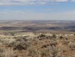
Bear Valley is a ski area located near Angels Camp, on highway 4, between Lake Tahoe and Yosemite, approximately 3 hours southeast of Sacramento, California, USA.
Ushuaia is the capital city of the Tierra del Fuego province in Patagonia, commonly referred as the southernmost city in the world, also being an important naval base. It is located in a wide open bay, on the south coast of Isla Grande de Terra del Fuego and bordered in the north by the Martial mountain range.
Wenatchee is the largest city of Chelan County, located in North Central Washington and lies on the west side of the Columbia River. The city is also known as the Apple Capital of the world, due to the valley's apple cultivations.
Squaw Valley Ski Resort is located in Olympic Valley, California, USA. It is one of the largest ski areas in the US after Heavenly and was the site of the 1960 Winter Olympics.
Shirley Meadows is located in Wofford Heights, on the Greenhorn Mountain, at about 60 mi/96.6 km northeast from Bakersfield, California, USA.
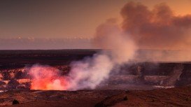
Volcano National park is located at 30 mi/48 km in the southwest of Hilo Town in Hawaii. The park was established in 1916 and is a combination of unique ecosystems and diverse environments that range from the sea to the summit of the world's biggest volcano, Mauna Loa, as well as Kilauea witch is the world's most active volcano.
Bear Valley is a ski area located near Angels Camp, on highway 4 between Lake Tahoe and Yosemite approximately 3 hours southeast of Sacramento, California, USA.
Bear Valley is a ski area located near Angels Camp, on highway 4, between Lake Tahoe and Yosemite, approximately 3 hours southeast of Sacramento, California, USA.
Mammoth Lakes is located near Mammoth Mountain, in California’s eastern Sierra about 100 mi/161 km south of Nevada State Line, 9 mi/14.5 km northwest of Mount Morrison, at an elevation of 7880 ft/2402 m, Mono County, California, USA.
Sonora Pass is located near Pinecrest, Tuolumne County, California, USA. It is off of Highway about 60 mi/96.5 km east of Sonora.
Squaw Valley Ski Resort is located in Olympic Valley, California, USA. It is one of the largest ski areas in the US after Heavenly and was the site of the 1960 Winter Olympics.
Bear Valley is a ski area located near Angels Camp, on highway 4, between Lake Tahoe and Yosemite, approximately 3 hours southeast of Sacramento, California, USA.
Sonora Pass is located near Pinecrest, Tuolumne County, California, USA. It is off of Highway about 60 miles/96.5 km east of Sonora.
Enderts beach is located 3 mi/4.8 km south of Crescent City off Highway 101 Paved beach. Crescent city is in Del Norte County, California, USA.