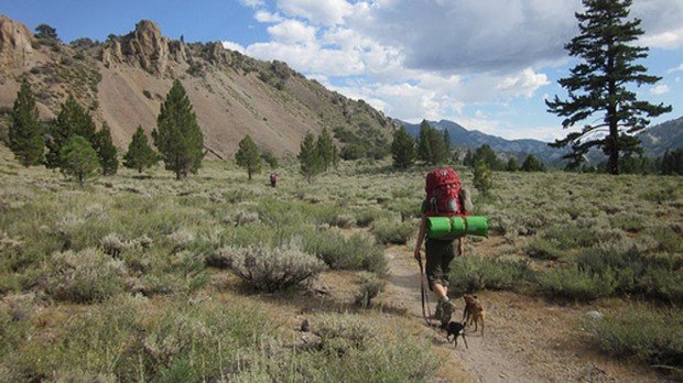
Arnold Rim Trail, Angels Camp
Bear Valley is a ski area located near Angels Camp, on highway 4, between Lake Tahoe and Yosemite, approximately 3 hours southeast of Sacramento, California, USA.
Home > MOUNTAIN SPORTS > Backpacking / Trekking > Leavitt Meadow, Sonora
Trails are spread everywhere across the mountains. There is something for everyone in the Sonora Pass region, as there are all kind of trails, easy, intermediate and high elevation and also long day adventures. One of the best trails to go backpacking is Leavitt Meadow to Roosevelt Lake.
It is a 3 mi/4.8 km, moderate trail with elevation gain of 500 ft/152.5 m. Roosevelt Lake and Lane Lake are enjoyable, 3 mi/4.8 km trails on the east side of Sonora Pass. Next to the Leavitt Meadow Campground is the parking lot, where the trail begins. In order to reach the West Walker River, you have to pass through the campground and a bridge.
In the biggest part of the ride, you follow the edge of Leavitt Meadow, before climbing about 500 ft/152.5 m over a ridge and then dropping down to the lakes. You can try an alternative trail on return, adding only a half mile to the ride, that takes you past Secret Lake.

Bear Valley is a ski area located near Angels Camp, on highway 4, between Lake Tahoe and Yosemite, approximately 3 hours southeast of Sacramento, California, USA.
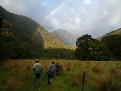
Te Anau is a small town, situated in Fiordland region, in the South Island of New Zealand.
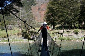
Glenorchy is a small settlement, situated in Otago region, at South Island in New Zealand. It lies on the northern side of Lake Wakatipu and is surrounded by Richardson and Humboltd Ranges.
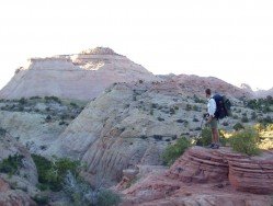
Sonora Pass is located near Pinecrest, Tuolumne County, California, USA. It is off of Highway about 60 mi/96.5 km east of Sonora.
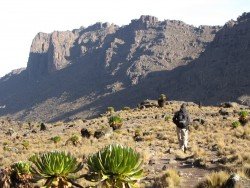
Located almost at 150 km/93 mi from Nairobi City, Mt. Kenya is located just south of the equator, offering three climbing routes, namely Naro-Moru, Sirimon and Chogoria. Mt. Kenya has magnificent cliffs and glaciers that protect the highest peaks. Highest peaks here are Batian at 5199 m/17057 ft, Nelion at 5188 m/17021 ft and Point Lenana at 4985 m/16355 ft.
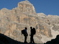
The Dolomite area offers a wide variety of trekking itineraries with different levels of difficulty for the sport's fans. With countless paths and routes in a breathtaking landscape, the entire area seems to be the ideal destination for hiking on the mountains! The choices are endless in the Dolomite's open playground arena such as Arabba, Creppe Rossa, Selva di Cadore, Sasso Bianco, Val Civetta, Croda da Lago, Val di Fassa.
Sonora Pass is located near Pinecrest, Tuolumne County, California, USA. It is off of Highway about 60 mi/96.5 km east of Sonora.

South Lake Tahoe is located on the California–Nevada border, El Dorado County, California, USA.
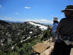
Bear Valley is a ski area located near Angels Camp, on highway 4, between Lake Tahoe and Yosemite, approximately 3 hours southeast of Sacramento, California, USA.
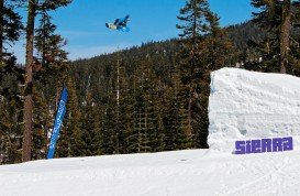
Sierra at Tahoe is a ski resort located near Twin Bridges on Hucklberry Mountain, south of Lake Tahoe, California, USA.
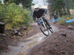
Northstar California is a ski resort, located near Truckee, California, USA. It is a very big ski resort, covering 3170 skiable acres/12.83 km².
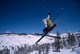
Dodge Ridge ski resort is located near Pinecrest, Tuolumne County, California, USA. It is off of Highway 108 about 30 mi/48.2 km east of Sonora.
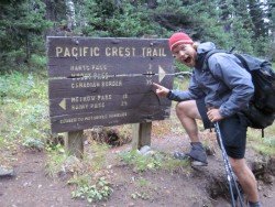
Bear Valley is a ski area located near Angels Camp, on highway 4, between Lake Tahoe and Yosemite, approximately 3 hours southeast of Sacramento, California, USA.
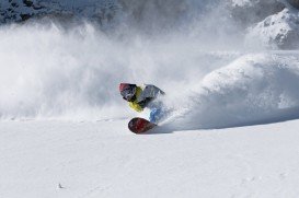
Kirkwood Mountain Resort is a year round resort in Kirkwood, south of Lake Tahoe, in El Dorado County, California, USA. Kirkwood is at 33 mi/53 km south of South Lake Tahoe, on State Route 88 and it is surrounded by El Dorado National Forest.

