Rogue River, Grants Pass
Rogue River is situated in southwestern Oregon, near the city of Grants Pass.
Home > MOUNTAIN SPORTS > Extreme Hiking / Hiking > Arnold Rim Trail, Angels Camp
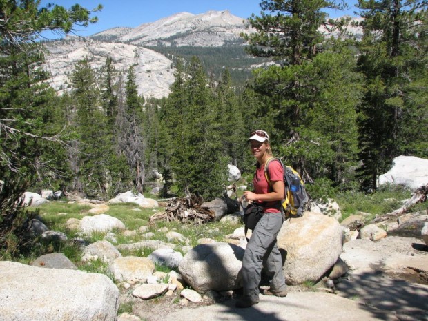
Near Bear Valley lies Ebbetts Pass, which is perfect for hiking. Day hikes can vary from unstrained, quarter mile rides to full day excursions on strenuous mountain peaks. One of the best hikes is at the Arnold Rim Trail. It is a 10.5 mi/16.9 km, one way trail. It has elevation changes of several hundred feet.
The trail runs at the moment from White Pines Lake, west of Sheep Ranch Road, near Avery. You can also hike out of the trail as far as you want and then head back. The Arnold Rim Trail follows San Antonio Creek, intersected on the north side to the south, approximately 2.5 mi/4 km south of White Pines Lake.
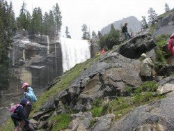
While hiking the path, you can enjoy the landscapes of Cougar Rock, San Antonio Falls and Penny Pines. Arnold Rim Trail Association has many volunteers and with the collaboration of other community volunteers created the trail. The entire trail is marked.
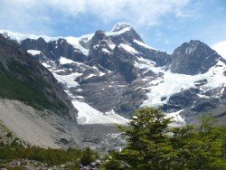
Rogue River is situated in southwestern Oregon, near the city of Grants Pass.
Mammoth Lakes is located near Mammoth Mountain, in California’s eastern Sierra about 100 mi/161 km south of Nevada State Line, 9 mi/14.5 km northwest of Mount Morrison, at an elevation of 7880 ft/2402 m, Mono County, California, USA.
Volcano National park is located at 30 mi/48 km in the southwest of Hilo Town in Hawaii. The park was established in 1916 and is a combination of unique ecosystems and diverse environments that range from the sea to the summit of the world's biggest volcano, Mauna Loa, as well as Kilauea which is the world's most active volcano.
Wenatchee is the largest city of Chelan County, located in North Central Washington and lies on the west side of the Columbia River. The city is also known as the Apple Capital of the world, due to the valley's apple cultivations.
What if you want to take a taste of the whole UK during a small journey? Swansea’s tranquil land is suitable for hiking in small-organized groups or with your own company.
Located almost at 150 km/93 mi from Nairobi City, Mt. Kenya is located just on the south of equator and offers three climbing routes, namely Naro-Moru, Sirimon and Chogoria.
Bear Valley is a ski area located near Angels Camp, on highway 4, between Lake Tahoe and Yosemite, approximately 3 hrs southeast of Sacramento, California, USA.
Sugar Bowl ski resort is a ski area in northern Placer County, near Norden, along Donner Pass of Sierra Nevada, at about 46 mi/74 km from Reno on Interstate 80, California, USA. The resort was opened on the 15th of December, 1939.
Bear Valley is a ski area located near Angels Camp, on highway 4, between Lake Tahoe and Yosemite, approximately 3 hours southeast of Sacramento, California, USA.
Sonora Pass is located near Pinecrest, Tuolumne County, California, USA. It is off of Highway about 60 mi/96.5 km east of Sonora.
Mount Shasta is located in northern California, east of Interstate 5 along SR89, between Mount Shasta city and McCloud city, California, USA.
Sonora Pass is located near Pinecrest, Tuolumne County, California, USA. It is off of Highway about 60 mi/96.5 km east of Sonora.
Bear Valley is a ski area located near Angels Camp, on highway 4, between Lake Tahoe and Yosemite, approximately 3 hours southeast of Sacramento, California, USA.
Mount Shasta is located in northern California, east of Interstate 5 along SR89, between Mount Shasta city and McCloud city, California, USA.