Buckhorn Ski and Snowboard Club is located about 40 mi/64.3 km from Los Angeles, in the Angeles National Forest, near city Azusa, California, USA.
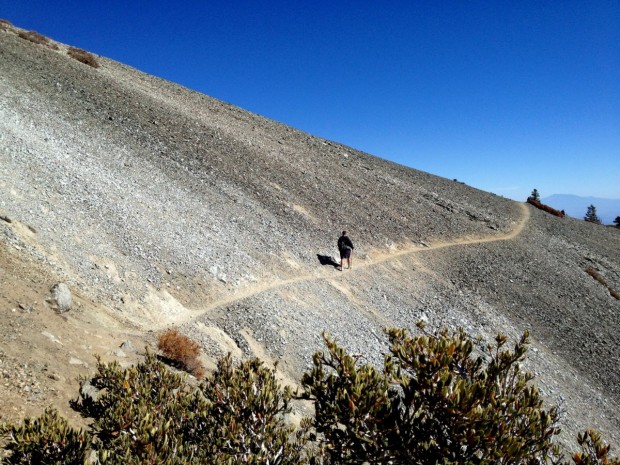
Mount Baldy is located in San Bernardino County, on Mount San Antonio (aka Mount Baldy), California, USA. The city is located only 45 mi/72.4 km from Los Angeles. Mount Baldy is perfect for hiking. It attracts so many hikers like no other peak in San Gabriel Mountains.
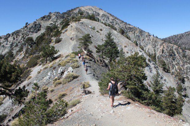
There are 4 primary routes to Mount Baldy. Two of the most famous hike trails are Devils Backbone Trail and Ski Hut Trail (Baldy Bowl Trail). Devils Backbone Trail is a 6.4 mi/10.3 km trail with 2300 ft/701 m of elevation gain or 13.6 mi/21.8 km trail with 3800 ft/1158 m of elevation gain.
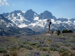
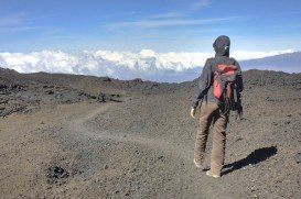
When you finish the trail, your efforts will be rewarded with the 360˚ panoramic breathtaking views of the 10064 ft/3067 m top of Mount San Antonio. Ski Hut Trail is an 8.4 mi/13.5 km round trip trail. It is the most direct, steep and varied route. The paths are narrow and they travel through some spectacular high country.
Elevation gain is 3900 ft/1189 m, not making it for people without good physical condition. When reaching the end of the trail, the vistas are magnificent.


