Woodbuck Basin Trailhead, Angels Camp
Bear Valley is a ski area located near Angels Camp, on highway 4, between Lake Tahoe and Yosemite, approximately 3 hours southeast of Sacramento, California, USA.
Home > MOUNTAIN SPORTS > Backpacking / Trekking > Rees-Dart Track, Glenorchy
It is located at 44 km/27 mi from Queenstown (a breathtaking, scenic drive) and consists the gateway to Fiordland and Mount Aspiring National Parks. Glenorchy and the surrounding area was the setting for the legendary films Lord of the Rings and X-Men Origins.
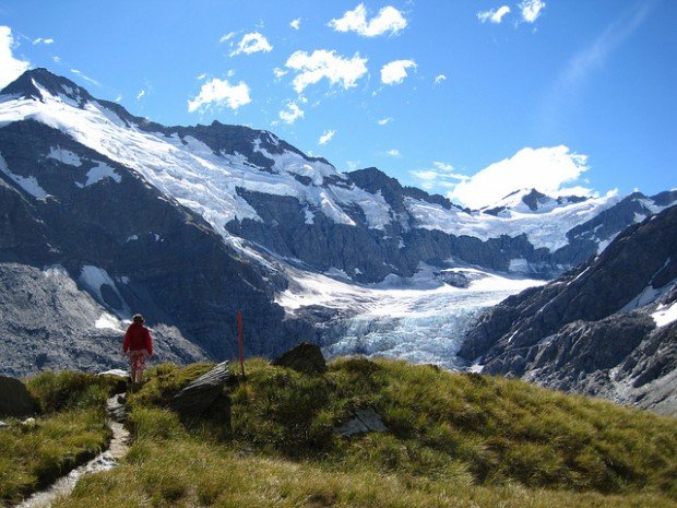
The Rees-Dart Track is a 4-5 day circuit track (average 6-8 h walking per day) in the southern part of Mt Aspiring National Park (World Heritage Area).
It follows Rees and Dart Rivers and offers a varied and magnificent scenery. Grasp the unique opportunity to pass by rivers and lakes, cross ancient forests, enjoy the truly breathtaking view of mountains and experience the wild nature of the National Park. If you wish to complete the track, you should allow 4-5 days depending on fitness level.
Note: Camping is allowed except for the alpine areas between Shelter Rock and Dart Huts, and Cascade Saddle. For hut and accommodation information check with the official DOC website. Bookings are essential.

Bear Valley is a ski area located near Angels Camp, on highway 4, between Lake Tahoe and Yosemite, approximately 3 hours southeast of Sacramento, California, USA.
Methven is a small town in Canterbury region of the South Island. It is only 1.5 h drive at the west of Christchurch, the second largest city of New Zealand and is situated close to Mount Hutt, in the heart of Southern Alps.
Sonora Pass is located near Pinecrest, Tuolumne County, California, USA. It is off of Highway about 60 mi/96.5 km east of Sonora.
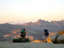
Sonora Pass is located near Pinecrest, Tuolumne County, California, USA. It is off of Highway about 60 mi/96.5 km east of Sonora.
Ilha Grande is the biggest and most well known island of the Green Bay at about 150 km/93 mi in the west-side of the State of Rio de Janeiro. Rio de Janeiro, commonly known as Rio, is the capital city of the Rio de Janeiro State, the second largest city of Brazil and the third largest metropolitan area in South America. Since July 2012, part of the city has been designated by UNESCO as a World Heritage Site in the category of ''cultural landscape''.
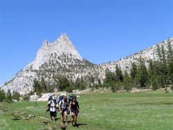
Bear Valley is a ski area located near Angels Camp, on highway 4, between Lake Tahoe and Yosemite, approximately 3 hours southeast of Sacramento, California, USA.
Wanaka is a small town in Central Otago in the South Island of New Zealand, situated on the south side of Lake Wanaka.
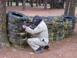
Queenstown is considered by many sportsmen as the capital of extreme sports and adventure activities. It is situated in Otago region, in the South Island, New Zealand.
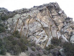
Wanaka is a small town in Central Otago in the South Island of New Zealand, situated on the south side of Lake Wanaka.
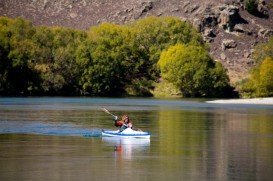
Wanaka is a small town in Central Otago in the South Island of New Zealand, situated on the south side of Lake Wanaka.
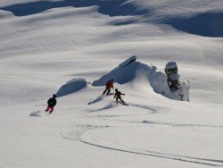
Queenstown is considered by many sportsmen as the capital of extreme sports and adventure activities. It is situated in Otago region, in the South Island, New Zealand.
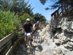
Glenorchy is a small settlement, situated in Otago region, in the South Island, New Zealand. It lies on the northern side of Lake Wakatipu and is surrounded by Richardson and Humboltd Ranges.
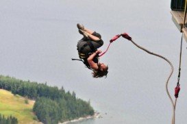
Queenstown is considered by many sportsmen as the capital of extreme sports and adventure activities. It is situated in Otago region, in the South Island, New Zealand.
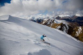
Queenstown is considered by many sportsmen as the capital of extreme sports and adventure activities. It is situated in Otago region, in the South Island, New Zealand.

