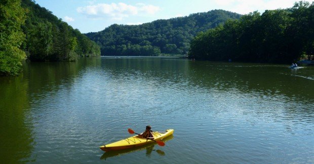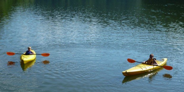
North Umpqua River, Roseburg
North Umpqua River is located near Roseburg in southwestern Oregon.
Home > WATER SPORTS > Kayaking > Lake Earl, Crescent City
The lake is connected to Lake Talawa on the west by a narrow channel of water. It is named after Talawa people, who as native people occupied the area previous to European colonization in 1850s. If you are a nature enthusiast, Lake Earl is the perfect place to be.
Visitors can observe hundreds of species of birds, coyote, deer, raccoon that can be spotted in the trail along the park. In spring and summer, wild flowers make the scenery look like a colorful painting. Along the coast, many marine mammals are prowling around like harbor seals, sea lions, gray whales that migrate from Alaska to Baja California.
Lake Earl is a perfect spot for kayaking. It maintains its level by using the beach like a dam and then it breaches the sand and lowers itself. The elevation ranges between +2- 8 ft/+0.6-2.4 m or more. Put-In is at the Narrows, because of the absence of mud. Narrows is located at the spot, where Lake Earl becomes Lake Talawa.
It is one of the deepest spots in the lagoon and the bank drops off at an optimum angle. Access is gained from the village Fort Dick.

North Umpqua River is located near Roseburg in southwestern Oregon.
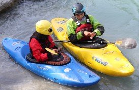
L'Argentière-la-Bessée is a commune of the Hautes-Alpes department in the Alps in southeastern France. The spot is situated next to the Durance river, which is used for kayaking and other water sports. The town is located on the edge of the Ecris National Park.
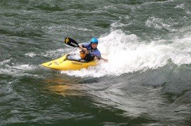
Located in northwestern Oregon, Clackamas River is a 83 mi/133.5 km river, mostly crossing beautiful forested landscapes or agricultural fields.
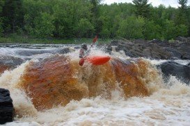
Duluth is a seaport city in the state of Minnesota and the county seat of Saint Louis County. It is located at the westernmost point of the Great Lakes, on the north shore of Lake Superior. St. Louis River, in the U.S. states of Minnesota and Wisconsin, flows into Lake Superior. The river's watershed covers 3634 mi²/9412 km².
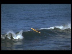
Bamburi Beach is a 20 minutes drive from Mombasa town and 45 minutes from Mombasa International airport. It overlooks the calm waters of the Indian Ocean and within the Mombasa Marine Park.
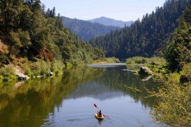
Klamath River begins in southern Oregon, Cascade Mountains and flows until Requa, Pacific Ocean, California, for more than 240 mi/386 km.
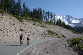
Mount Shasta is located in northern California, east of Interstate 5 along SR89, between Mount Shasta city and McCloud city, California, USA.
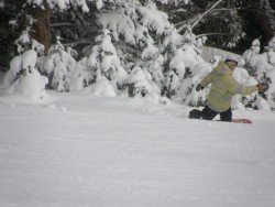
Mount Shasta is located in northern California, east of Interstate 5 along SR89, between Mount Shasta city and McCloud city, California, USA.
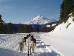
Mount Shasta is located in northern California, east of Interstate 5 along SR89, between Mount Shasta city and McCloud city, California, USA.
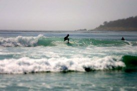
Pebble beach is an incorporating community in Monterey County, in the Monterey Peninsula, California, USA. Partially Pebble beach belongs to Del Norte Forest Foundation.
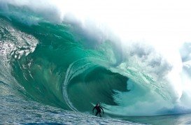
High Bluff Beach is located near Klamath, Del Norte County, California, USA.
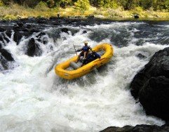
Rogue River is situated in southwestern Oregon, near the city of Grants Pass.
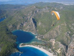
Big Lagoon is located at 7 mi/11.3 km north of Trinidad, Humboldt County, California, USA.
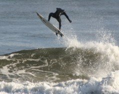
Point St. George is located in the northwest of Crescent City, west of the Airport, Del Norte County, California, USA.

