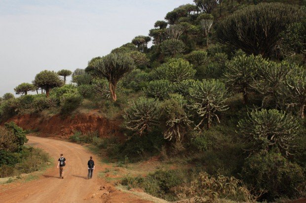
Bible Rock, Mawanella
Batalegala or Bible Roch is a well-known mountain near Aranayake in Kellage District in the central province of Sri Lanka.
Home > MOUNTAIN SPORTS > Extreme Hiking / Hiking > Mount Longonot, Lake Naivasha
One can navigate the mountain in two ways, either by going to the top and coming back down, or get to the top and then go round the crater which is 7.2 km/4.5 mi long. The hike is normally not an easy one and can be achieved by people with considerable fitness.
The whole journey is between 8-9 km/5-5.6 mi but very steep and would take almost 5 hours to accomplish a round trip. Apart from hosting a variety of wildlife at the mountain, the crater floor is covered with small trees and steam vents can be found spaced between the crater walls.
Make sure you have good fitting shoes due to the steep slopes and one needs to be careful not to slip or twist an ankle.

Batalegala or Bible Roch is a well-known mountain near Aranayake in Kellage District in the central province of Sri Lanka.
Wenatchee is the largest city of Chelan County, located in North Central Washington and lies on the west side of the Columbia River. The city is also known as the Apple Capital of the world, due to the valley's apple cultivations.
Bear Valley is a ski area located near Angels Camp, on highway 4, between Lake Tahoe and Yosemite, approximately 3 hours southeast of Sacramento, California, USA.
Bear Valley is a ski area located near Angels Camp, on highway 4, between Lake Tahoe and Yosemite, approximately 3 hours southeast of Sacramento, California, USA.
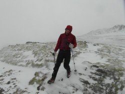
Knoydart known as the Rough Bounds lies between the lochs Nevis and Hourn in Lochaber peninsula.
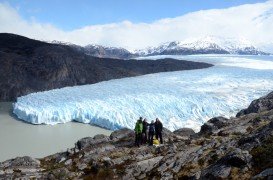
Torres del Paine is located in Southern Patagonia and is one of the numerous spectacular national parks in Chile. It was created in 1959 and UNESCO has listed the location as a Biosphere Reserve since 1978. This place is a wonderland for nature enthusiasts from all over the world.
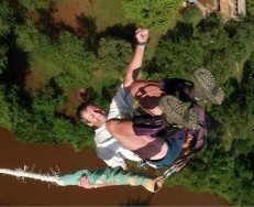
Sagana is a small town, situated in an edge of a small plain at the southern foot of Mt. Kenya, in Central Province, Kenya and located almost at 62 mi/100 km from Nairobi City.
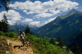
Located almost at 150 km/93 mi from Nairobi City, Mt. Kenya is located just south of the equator, offering three climbing routes, namely Naro-Moru, Sirimon and Chogoria. Mt. Kenya has magnificent cliffs and glaciers that protect the highest peaks. Highest peaks here are Batian at 5199 m/17057 ft, Nelion at 5188 m/17021 ft and Point Lenana at 4985 m/16355 ft.
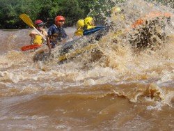
Sagana is a small town, situated on the edge of a small plain at the southern foot of Mt. Kenya. Located almost at 100 km/62 mi from Nairobi City, it is home to Tana River, the longest in Kenya with a 1014 km/630 mi length.
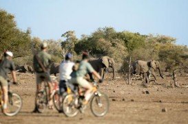
Located almost at 150 km/93 mi from Nairobi City, Mt. Kenya is located just on the south of equator and offers three climbing routes, namely Naro-Moru, Sirimon and Chogoria.
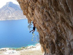
Hell's Gate is located in the South of Lake Naivasha and at about 90 km/55 mi in the northwest of Nairobi City. It covers an area of 68 km²/26.25 mi² and at 1900 m/6233 ft above sea level. Some of the highlights are the Fischer's tower, Central tower and Hell's Gate gorge. Although there is a wide variety of wildlife, the spot is famous for its variety of bird species including vultures, verreaux's eagles, swifts and augur buzzards.
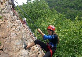
Hell's Gate is located in the south of Lake Naivasha and at about 90 km/55 mi in the northwest of Nairobi City. It covers an area of 68 km²/26.25 mi² and is 1900 m/6233 ft above sea level. Some of the highlights are the Fischer's tower, Central tower and Hell's Gate gorge. Although there is a wide variety of wildlife, it is famous for a variety of bird species including vultures, verreaux's eagles, swifts and augur buzzards.
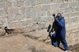
Karen is a suburb of Nairobi City center. It is located in the south west and approximately at 22 km/14 mi from the city center, also known for its European population. The neighborhood was named after the famous Danish author Karen Blixen, who wrote the colonial memoir Out of Africa.
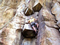
Located almost at 150 km/93 mi from Nairobi City, Mt. Kenya is located just on the south of equator and offers three climbing routes, namely Naro-Moru, Sirimon and Chogoria.

