Chapin Memorial Beach, Cape Cod
Chapin Memorial Beach is an impressive, white sand beach at the North West of Dennis, Cape Cod.
Home > BOARD SPORTS > Surfing > Crescent South Beach, Crescent City
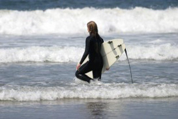
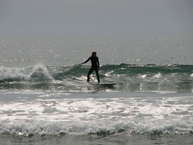
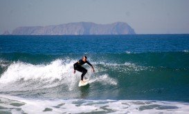
The beach is on the Pacific Coast in the upper northwestern part of California, about 20 mi/32 km from the Oregon border and south of Anchor Way of Highway 101, at Crescent City Harbor. It is a sandy and popular beach, protected from the full force of the sea.
The beach lies within the fringes of the Redwood National Park, so a spectacular natural setting is expected. It is mostly undeveloped and the facility owns just a few restrooms and picnic tables. Although it is a non crowded beach, surfers find it ideal.
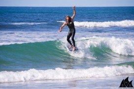
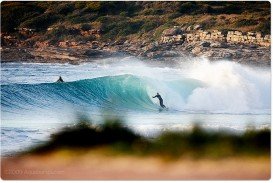
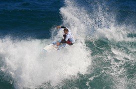
The wave quality is normal and it is good for all kind of surfers, experienced or not. The type of the wave is beach–break and the direction of the wave is both left and right. The bottom of the sea is sandy. The normal length of the waves is short, 164 ft/50 m and on good days it goes up to 164 ft/150 m.
Swell size starts at less than 1 m/3 ft and holds up to 2 m+/6 ft+. Best tide position is mid and high and the best tide movement is rising tide.
Chapin Memorial Beach is an impressive, white sand beach at the North West of Dennis, Cape Cod.
Puerto Rico is situated in the northeastern Caribbean and consists of an archipelago that includes the main island of Puerto Rico and a number of smaller islands. The climate here is classified as tropical marine climate, with an average temperature of 82.4°F/ 28°C, throughout the year. Although it is a small island, the smallest island of the Greater Antilles, Puerto Rico provides superb natural surroundings, countless adventure experiences and many places of historical interest.
Bayfront beach is located in Hilo, Hawaii, which is the most populated city of the island. Hilo is an old fashioned bay front town, with tropical rain forest climate all year long and home of the Tsunami Museum, dedicated to the understanding of the 1946 Pacific Tsunami.
Mudjimba is a beautiful suburb of the Sunshine Coast, that took its name after a local plant, the Midyam bush. Mudjimba Island or Old Woman Island is located at about 1 km/3.28 mi off the coast and it is considered to be the best surf break in the Sunshine Coast.
Coogee is a beach-side suburb of Sydney, at about 8 km/4 mi in the south-east of Sydney's CBD (Central Business District).
Victoria is the second-smallest state of Australia. It borders with New South Wales to the north and Tasman Sea to the east. The unique combination of spectacular coastline, pristine beaches, numerous national parks, dense forests and mountains attract visitors all year long and offer a plethora of activities to sport lovers. Melbourne, Victoria's capital and one of the most populous cities in Australia, lies on the Yarra River and around the shores of Port Phillip Bay.
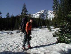
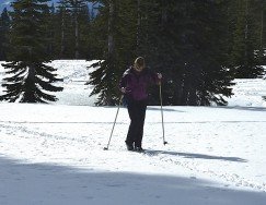
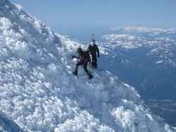
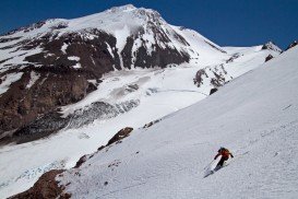
Mount Shasta is located in northern California, east of Interstate 5 along SR89, between Mount Shasta city and McCloud city, California, USA.
Whaler Island is located at the southern end of Crescent City, Del Norte County, California, USA.
Mount Shasta is located in northern California, east of Interstate 5 along SR89, between Mount Shasta city and McCloud city, California, USA.
Enderts beach is located 3 mi/4.8 km south of Crescent City off Highway 101 Paved beach. Crescent city is in Del Norte County, California, USA.
Pelican State Beach is located at 21 mi/33.8 km north of Crescent City, south of Oregon border, Del Norte County, California, USA.