
Grover Hot Springs State Park, Angels Camp
Bear Valley is a ski area located near Angels Camp, on highway 4, between Lake Tahoe and Yosemite, approximately 3 hours southeast of Sacramento, California, USA.
Home > MOUNTAIN SPORTS > Backpacking / Trekking > Cromwell, South Island
Before the formation of Lake Dunstan and the construction of Clyde Dam, Cromwell was known as The Junction, due to the confluence of Clutha River with Kawarau River. This used to be a gold-mining area. The climate is considered to be continental and dry, with hot summers (up to 35°C/95°F) and cold winters (the temperature can drop down to -8°C/17.60°F).
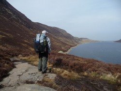
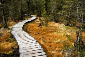
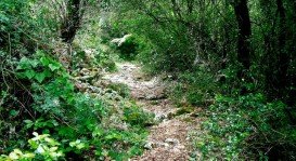
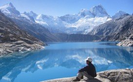
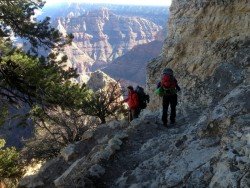
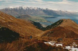
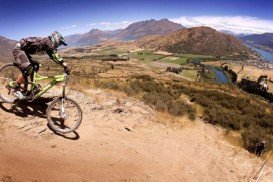
One of the best and most challenging ways to explore Cromwell and the surrounding area is trekking. Immerse yourself in the trekking adventure, feel the thrill of your personal effort and cover miles and miles discovering the rare and wild beauty of the surrounding valleys, mountains, lakes and forests!
Roaring Meg and Lowburn Pack Tracks (over Pisa Range), Cairnmuir Hill Track (from Clyde to Bannockburn) and Bannockburn to Goldfields Track are undoubtedly the most famous and rewarding ones. Don’t forget to bring the camera with you!
Note: For more details check with the Information Center.
Bear Valley is a ski area located near Angels Camp, on highway 4, between Lake Tahoe and Yosemite, approximately 3 hours southeast of Sacramento, California, USA.
Maasai Mara covers about 1500 km²/579.15 mi² and consists of gently rolling hills, acacia and woodland trees, watered by the Mara and Talek rivers. Landscape at the Mara is stunningly free and abundantly rich in wildlife, allowing for magnificent viewing while trekking primitive paths and trails in the middle of a pure African reality.
Mount Shasta is located in northern California, east of Interstate 5 along SR89, between Mount Shasta city and McCloud city, California, USA.
In the surroundings of Lake Garda, several types of trekking or/and Nordic walking can be practiced easily in a very pleasant and relaxed way.
The Dolomite area offers a wide variety of trekking itineraries with different levels of difficulty for the sport's fans. With countless paths and routes in a breathtaking landscape, the entire area seems to be the ideal destination for hiking on the mountains! The choices are endless in the Dolomite's open playground arena such as Arabba, Creppe Rossa, Selva di Cadore, Sasso Bianco, Val Civetta, Croda da Lago, Val di Fassa.
Glenorchy is a small settlement, situated in Otago region, in the South Island, New Zealand. It lies on the northern side of Lake Wakatipu and is surrounded by Richardson and Humboltd Ranges.
Methven is a small town in Canterbury region of the South Island. It is only 1.5 h drive at the west of Christchurch, the second largest city of New Zealand and is situated close to Mount Hutt, in the heart of Southern Alps.
Christchurch is situated in Canterbury region in the South Island, and is the second largest city of New Zealand. It represents the getaway to Antarctica, while lying next to Pegasus Bay and the Pacific Ocean.
Wanaka is a small town in Central Otago in the South Island of New Zealand, situated on the south side of Lake Wanaka.
Queenstown is considered by many sportsmen as the capital of extreme sports and adventure activities. It is situated in Otago region, in the South Island, New Zealand.
Te Anau is a small town, situated in Fiordland region, in the South Island of New Zealand.
Wanaka is a small town in Central Otago in the South Island of New Zealand, situated on the south side of Lake Wanaka.