Sugar Pine Railroad, Sonora
Sonora Pass is located near Pinecrest, Tuolumne County, California, USA. It is off of Highway about 60 mi/96.5 km east of Sonora.
Home > MOUNTAIN SPORTS > Backpacking / Trekking > Hollyford Track, Te Anau
The town lies on the eastern side of Te Anau Lake (the second largest lake of New Zealand with more than 400 m/1312 ft depth) and is literally on the border of Fiordland National Park and Te Wahipounamu World Heritage Area, offering a getaway to awe-inspiring landscapes and magnificent sites of wild nature.
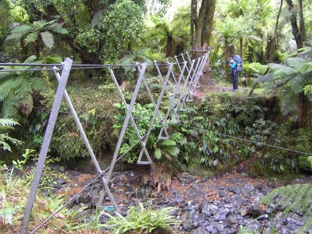
Hollyford Track starts at Hollyford Road End and finishes at Martins Bay on the West Coast. It extends for 56 km/34 mi and is one of the best trekking tracks worldwide, traversing Fiordland National Park (World Heritage Area).
Grasp the unique opportunity to pass by the spectacular Hollyford River, cross beech forests and ice-carved valleys and enjoy the truly breathtaking view of the Hidden Falls. Highlight of your journey: when you get to Martins Bay, you will see fur seals and the penguins (certain times of the year). If you wish to complete the track, you should allow 4-5 days depending on fitness level. There are six DOC huts, where you can spend the night. Alternatively you can camp outside the huts.
Note: For hut and accommodation information check with the official DOC website. Bookings are essential.

Sonora Pass is located near Pinecrest, Tuolumne County, California, USA. It is off of Highway about 60 mi/96.5 km east of Sonora.
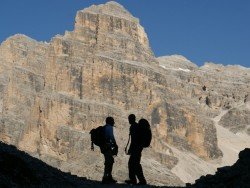
The Dolomite area offers a wide variety of trekking itineraries with different levels of difficulty for the sport's fans. With countless paths and routes in a breathtaking landscape, the entire area seems to be the ideal destination for hiking on the mountains! The choices are endless in the Dolomite's open playground arena such as Arabba, Creppe Rossa, Selva di Cadore, Sasso Bianco, Val Civetta, Croda da Lago, Val di Fassa.
Sonora Pass is located near Pinecrest, Tuolumne County, California, USA. It is off of Highway about 60 mi/96.5 km east of Sonora.
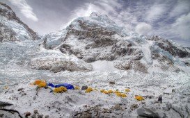
If you have ever dreamed of walking on high mountains through vast remote areas, and majestic untouched nature surrounded by the highest mountains of the world, then the Everest Transverse Trek is an epic journey that will fulfil your wildest desires for adventure.
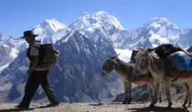
Peru or the Republic of Peru is the third largest country in South America, located on the west side of the continent and straddling part of the Andes mountain range. The country is well-known for the ancient city of the Incas, Machu Picchu. It is a remarkable archaeological location and also an UNESCO World Heritage site that attracts visitors from all over the world.
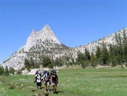
Bear Valley is a ski area located near Angels Camp, on highway 4, between Lake Tahoe and Yosemite, approximately 3 hours southeast of Sacramento, California, USA.
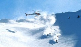
Glenorchy is a small settlement, situated in Otago region, in the South Island, New Zealand. It lies on the northern side of Lake Wakatipu and is surrounded by Richardson and Humboltd Ranges.
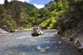
Queenstown is considered by many sportsmen as the capital of extreme sports and adventure activities. It is situated in Otago region, in the South Island, New Zealand.
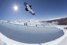
Queenstown is considered by many sportsmen as the capital of extreme sports and adventure activities. It is situated in Otago region, in the South Island, New Zealand.
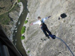
Queenstown is considered by many sportsmen as the capital of extreme sports and adventure activities. It is situated in Otago region, in the South Island, New Zealand.
Wanaka is a small town in Central Otago in the South Island of New Zealand, situated on the south side of Lake Wanaka.
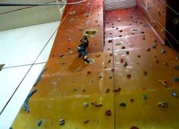
Queenstown is considered by many sportsmen as the capital of extreme sports and adventure activities. It is situated in Otago region, in the South Island, New Zealand.
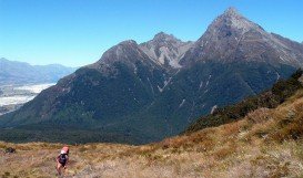
Glenorchy is a small settlement, situated in Otago region, in the South Island, New Zealand. It lies on the northern side of Lake Wakatipu and is surrounded by Richardson and Humboltd Ranges.
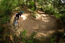
Methven is a small town in Canterbury region of the South Island. It is only 1.5 h drive at the west of Christchurch, the second largest city of New Zealand and is situated close to Mount Hutt, in the heart of Southern Alps.

