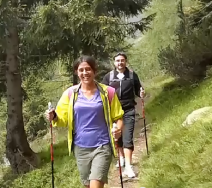
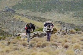
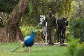
Backpacking / Trekking in Mt. Kenya, Mount Kenya National Park,
Central Province Kenya
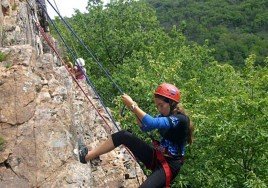
Located almost at 150 km/93 mi from Nairobi City, Mt. Kenya is located just south of the equator, offering three climbing routes, namely Naro-Moru, Sirimon and Chogoria. Mt. Kenya has magnificent cliffs and glaciers that protect the highest peaks. Highest peaks here are Batian at 5199 m/17057 ft, Nelion at 5188 m/17021 ft and Point Lenana at 4985 m/16355 ft.
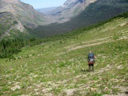
There are several trekking routes in Mt. Kenya but due to various reasons, they are not frequently practiced, thus leaving Naro-Moru, Sirimon and Chogoria as the most used trekking routes to Point Lenana at 4985 m/16355 ft. Among these, the most popular and frequently used route is the Naro Moru trail which is approached from the west at 2500 m/8202 ft.
It is not a scenic route and has a fast ascent profile and can bother individuals who wish to accustom to the climate at a more slower pace. However , it features the legendary ” Vertical Bog” which is a steep quagmire of wet moorland which is extremely fierce and unpleasant after the rains.
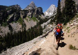
Chogoria on the other hand is the most scenic and tackled from the east at 3000 m/9842 ft while Chogoria is the least used though it features the most gradual ascent allowing for best acclimatization options. The trekking tours normally take 3-5 days depending on the route option.