Arnold Rim Trail, Angels Camp
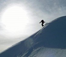
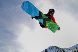
Bear Valley is a ski area located near Angels Camp, on highway 4, between Lake Tahoe and Yosemite, approximately 3 hours southeast of Sacramento, California, USA.
Home > MOUNTAIN SPORTS > Backpacking / Trekking > Pinecrest Lake, Sonora
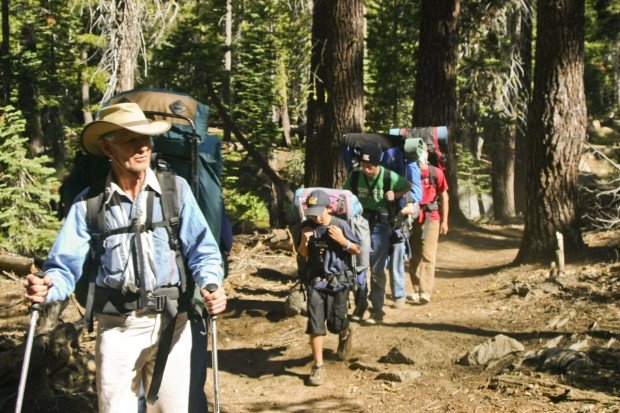
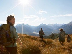
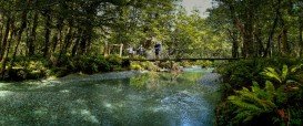
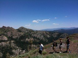
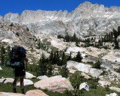
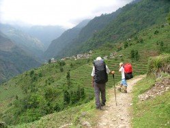
Backpacking trails are spread everywhere across the mountains. There is something for everyone in the Sonora Pass region, as there are all kind of trails, easy, intermediate and high elevation and also long day adventures. One of the best trails to backpack is Pinecrest Lake Trail, which is a 4 mi/6.4 km, moderate trail with elevation gain of 100 ft/30.5 m.
The trail is one of the most popular hikes of the area. Begin your adventure at any point you wish and set out in either direction. If you begin at the Day Use Area and go counter-clockwise, the trail skirts the southern edge of the lake and passes through scattered summer homes.
At the end of the lake you find large flat rocks, worth daring into for great view across the lake. There is a section of the trail, that leads to the dam, requiring extra attention to your footing. You can camp anywhere near the lake.
Bear Valley is a ski area located near Angels Camp, on highway 4, between Lake Tahoe and Yosemite, approximately 3 hours southeast of Sacramento, California, USA.
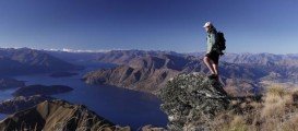
Glenorchy is a small settlement, situated in Otago region, in the South Island, New Zealand. It lies on the northern side of Lake Wakatipu and is surrounded by Richardson and Humboltd Ranges.
Ilha Grande is the biggest and most well known island of the Green Bay at about 150 km/93 mi in the west-side of the State of Rio de Janeiro. Rio de Janeiro, commonly known as Rio, is the capital city of the Rio de Janeiro State, the second largest city of Brazil and the third largest metropolitan area in South America. Since July 2012, part of the city has been designated by UNESCO as a World Heritage Site in the category of ''cultural landscape''.
Mount Shasta is located in northern California, east of Interstate 5 along SR89, between Mount Shasta city and McCloud city, California, USA.
Mammoth Lakes is located near Mammoth Mountain, in California’s eastern Sierra about 100 mi/161 km south of Nevada State Line, 9 mi/14.5 km northwest of Mount Morrison, at an elevation of 7880 ft/2402 m, Mono County, California, USA.
Boreal Mountain Ski Resort is a ski area located in Soda Springs, near Lake Tahoe, California, USA. Nearest city is Truckee and the resort is on Highway 80, in the west of the city.
Sonora Pass is located near Pinecrest, Tuolumne County, California, USA. It is off of Highway about 60 mi/96.5 km east of Sonora.
Bear Valley is a ski area located near Angels Camp, on highway 4, between Lake Tahoe and Yosemite, approximately 3 hours southeast of Sacramento, California, USA.
Mount Shasta is located in northern California, east of Interstate 5 along SR89, between Mount Shasta city and McCloud city, California, USA.