Routeburn Track, Glenorchy
Glenorchy is a small settlement, situated in Otago region at South Island in New Zealand. It lies on the northern side of Lake Wakatipu and is surrounded by Richardson and Humboltd Ranges.
Home > MOUNTAIN SPORTS > Backpacking / Trekking > Sourgrass, Angels Camp
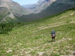
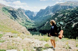
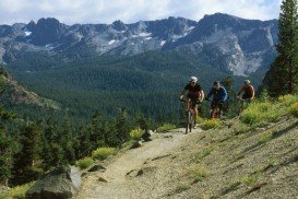
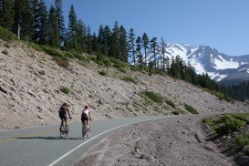
Near Bear Valley lies Ebbetts Pass, which is perfect for Backpacking. Day rides can vary from unstrained, quarter mile rides to full day excursions on strenuous mountain peaks. One of the best rides is Sourgrass. It is a 1.5 mi/2.4 km, one way, long, old, four wheel, dirt road.
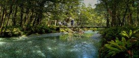
The elevation changes are 200 ft/61 m. The path begins at the Day Use area, at Sourgrass and goes up at the side of North Fork Stanislaus River. During spring, it’s a beautiful sight to watch the rushing water of the river, always from a safe distance. When summer comes, the spot is perfect for fishing, because of the riffles and summer pools.
Near the river you can find a secluded spot to have a picnic. You can camp near the river or Sourgrass Meadow. If you need more information call Sourgrass Camping.
Glenorchy is a small settlement, situated in Otago region at South Island in New Zealand. It lies on the northern side of Lake Wakatipu and is surrounded by Richardson and Humboltd Ranges.
Bali is a province in Indonesia with a few neighboring islands including the Isle of Bali. The island of Bali lies at about 8 degrees/ 0.13 radians on the south of equator and at 3.2 km/1.9 mi from Java. It is surrounded by coral reefs with white sand beaches on the south and black sand beaches on the north and the west of the island.
Maasai Mara covers about 1500 km²/579.15 mi² and consists of gently rolling hills, acacia and woodland trees, watered by the Mara and Talek rivers. Landscape at the Mara is stunningly free and abundantly rich in wildlife, allowing for magnificent viewing while trekking primitive paths and trails in the middle of a pure African reality.
Sonora Pass is located near Pinecrest, Tuolumne County, California, USA. It is off of Highway about 60 mi/96.5 km east of Sonora.
Bear Valley is a ski area located near Angels Camp, on highway 4, between Lake Tahoe and Yosemite, approximately 3 hours southeast of Sacramento, California, USA.
Ama Dablam Mountain is a mountain situated in the Himalaya range of eastern Nepal. Its name means Mother’s necklace and it is the third most popular Himalayan summit for permitted expeditions.
Sonora Pass is located near Pinecrest, Tuolumne County, California, USA. It is off of Highway about 60 mi/96.5 km east of Sonora.
Mammoth Mountain is located in California’s eastern Sierra, at 100 mi/161 km south of Nevada State line and 50 minutes from the Eastern Gate of Yosemite National Park.
Sonora Pass is located near Pinecrest, Tuolumne County, California, USA. It is off of Highway about 60 mi/96.5 km east of Sonora.
Soda Springs ski resort is located near Soda Springs, Nevada County, California, USA. Soda Springs ski resort is just off of Highway 80, near the Donner Summit.
Mount Shasta is located in northern California, east of Interstate 5 along SR89, between Mount Shasta city and McCloud city, California, USA.
Bear Valley is a ski area located near Angels Camp, on highway 4, between Lake Tahoe and Yosemite, approximately 3 hours southeast of Sacramento, California, USA.
