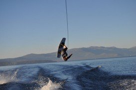
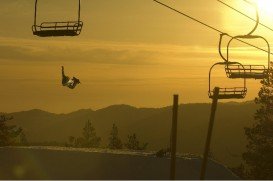
Bear Valley is a ski area located near Angels Camp, on highway 4, between Lake Tahoe and Yosemite, approximately 3 hours southeast of Sacramento, California, USA.
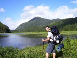
Near Bear Valley, on Highway 4 lies Lake Alpine about 50 mi/80.5 km from Angels Camp. Elevation of the lake is 7300 ft/2225 m. If you visit Lake Alpine, you should definitely go backpacking on Woodchuck Basin Trailhead. The trail will take you to the top of a ridge, which divides the Mokelumne and Stanislaus River watersheds.
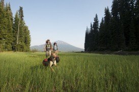
It is approximately a 1.5 – 2 mi/2.4 – 3.2 km trail to Woodchuck Basin, which is located 1 mi/1.6 km east of Lake Alpine on Highway 4. You can camp around the meadow. The moment you get out of the forest, you face the amazing view of the Sierra Nevada all the way to Yosemite.
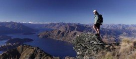
Especially in summer the scenery is breathtaking. Alpine flowers are blooming throughout the summer along the trail. Sit down, eat something and enjoy the magnificent view of the mountains around Lake Tahoe to the north and Yosemite to the south.