Mt. Kenya, Mount Kenya National Park
Located almost at 150 km/93 mi from Nairobi City, Mt. Kenya is located just on the south of equator and offers three climbing routes, namely Naro-Moru, Sirimon and Chogoria.
Home  > MOUNTAIN SPORTS  > Extreme Hiking / Hiking  > Lyons Reservoir, Sonora
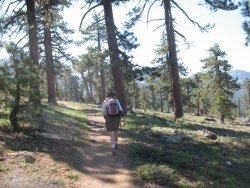
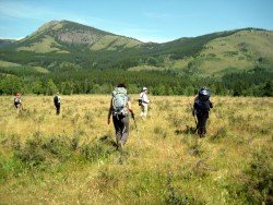
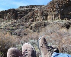
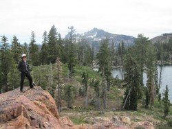
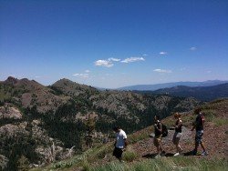
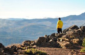
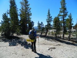
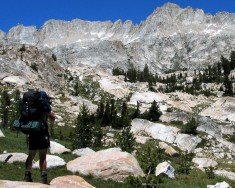
Hiking trails are spread everywhere across the mountains. There is something for everyone in the Sonora Pass region, as there are all kind of trails, easy, intermediate and high elevation and long day adventures. One of the best trails to hike is Twain Harte to Lyons Reservoir – Railroad Grade.
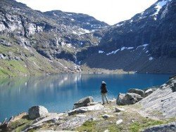
It is a 4.5 mi/7.2 km, moderate trail with elevation gain of 200 ft/60.9 m. It is a gentle trail to Lyons Reservoir, Â that follows an old Sugar Pine Railroad grade. In early spring, it usually opens at an elevation of 4000 ft/1219 m. Lyons is a beautiful lake to visit. Hike around the lake on an easy level trail across the dam.
At the south end of the lake is the dam, which has a dramatic spill way, draining the lake into a magnificent picturesque canyon below the dam. In late summer and fall the lake drops, as the water is used by the Tuolumne water district.
Located almost at 150 km/93 mi from Nairobi City, Mt. Kenya is located just on the south of equator and offers three climbing routes, namely Naro-Moru, Sirimon and Chogoria.
Wenatchee is the largest city of Chelan County, located in North Central Washington and lies on the west side of the Columbia River. The city is also known as the Apple Capital of the world, due to the valley's apple cultivations.
Mount Shasta is located in northern California, east of Interstate 5 along SR89, between Mount Shasta city and McCloud city, California, USA.
Mt. Longonot is located in the South East of Lake Naivasha and at about 90 km/60 mi from Nairobi City. It stands at 2886 m/9468 ft with dormant volcanoes dominating the landscape. Mt. Longonot is lined with spectacular fissures and lava canyons. It is a strato-volcano with fairly steep slopes covered with volcanic ash.
Buckhorn Ski and Snowboard Club is located about 40 mi/64.3 km from Los Angeles, in the Angeles National Forest, near city Azusa, California, USA.
Sonora Pass is located near Pinecrest, Tuolumne County, California, USA. It is off of Highway about 60 mi/96.5 km east of Sonora.
Mount Shasta is located in northern California, east of Interstate 5 along SR89, between Mount Shasta city and McCloud city, California, USA.
Sugar Bowl ski resort is a ski area in northern Placer County, near Norden, along Donner Pass of Sierra Nevada, at about 46 mi/74 km from Reno on Interstate 80, California, USA. The resort was opened on the 15th of December, 1939.
Yosemite National Park is located near Mariposa, California, USA.
Bear Valley is a ski area located near Angels Camp, on highway 4, between Lake Tahoe and Yosemite, approximately 3 hours southeast of Sacramento, California, USA.
Mount Shasta is located in northern California, east of Interstate 5 along SR89, between Mount Shasta city and McCloud city, California, USA.
Sonora Pass is located near Pinecrest, Tuolumne County, California, USA. It is off of Highway about 60 mi/96.5 km east of Sonora.