ADD COMMENT
Mojacar, Almeria
/
Andalusia Spain
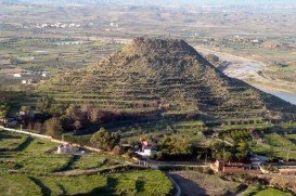
Mojacar is a municipality, located in 90 km/56 mi away from the center, in the southwest of Almeria province. This village lies between Carboneras and Garrucha, bordering the Sierra Cabrena mountains and the Mediterranean sea. The village has been inhabited by Phoenicians, Greeks and Romans throughout the ancient times, leaving as a legacy behind their architecture style. The whole village is build on the top of the hill with white traditional buildings surrounded by a big labyrinth of small narrow streets.