Shirley Meadows, Wofford Heights
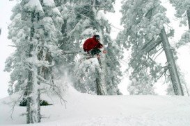
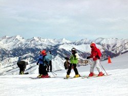
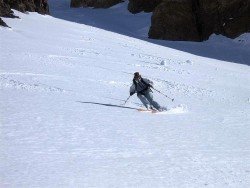
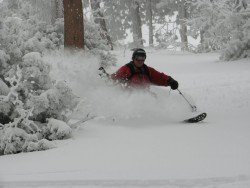
Shirley Meadows is located in Wofford Heights, on the Greenhorn Mountain, at about 60 mi/96.6 km northeast from Bakersfield, California, USA.
Home > MOUNTAIN SPORTS > Extreme Hiking / Hiking > Mount Baldy, San Bernardino
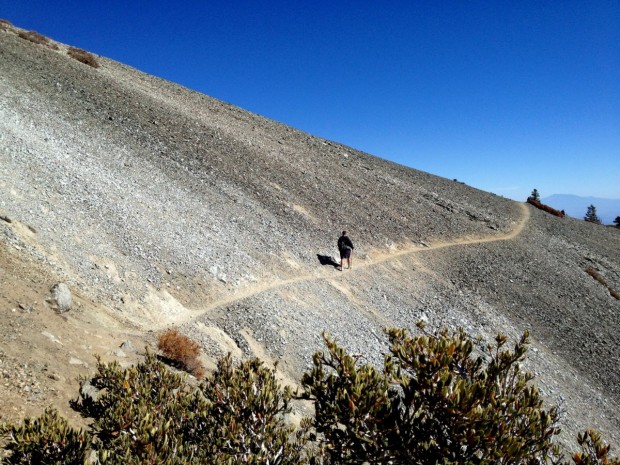
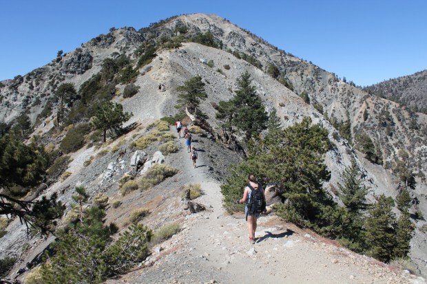
Mount Baldy is located in San Bernardino County, on Mount San Antonio (aka Mount Baldy), California, USA. The city is located only 45 mi/72.4 km from Los Angeles. Mount Baldy is perfect for hiking. It attracts so many hikers like no other peak in San Gabriel Mountains.
There are 4 primary routes to Mount Baldy. Two of the most famous hike trails are Devils Backbone Trail and Ski Hut Trail (Baldy Bowl Trail). Devils Backbone Trail is a 6.4 mi/10.3 km trail with 2300 ft/701 m of elevation gain or 13.6 mi/21.8 km trail with 3800 ft/1158 m of elevation gain.
When you finish the trail, your efforts will be rewarded with the 360˚ panoramic breathtaking views of the 10064 ft/3067 m top of Mount San Antonio. Ski Hut Trail is an 8.4 mi/13.5 km round trip trail. It is the most direct, steep and varied route. The paths are narrow and they travel through some spectacular high country.
Elevation gain is 3900 ft/1189 m, not making it for people without good physical condition. When reaching the end of the trail, the vistas are magnificent.
Shirley Meadows is located in Wofford Heights, on the Greenhorn Mountain, at about 60 mi/96.6 km northeast from Bakersfield, California, USA.
Bear Valley is a ski area located near Angels Camp, on highway 4, between Lake Tahoe and Yosemite, approximately 3 hours southeast of Sacramento, California, USA.
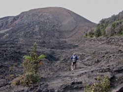
Volcano National park is located at 30 mi/48 km in the southwest of Hilo Town in Hawaii. The park was established in 1916 and is a combination of unique ecosystems and diverse environments that range from the sea to the summit of the world's biggest volcano, Mauna Loa, as well as Kilauea witch is the world's most active volcano.
Mount Shasta is located in northern California, east of Interstate 5 along SR89, between Mount Shasta city and McCloud city, California, USA.
Sonora Pass is located near Pinecrest, Tuolumne County, California, USA. It is off of Highway about 60 mi/96.5 km east of Sonora.
Björkliden lies at 250 km/155 mi inside the Arctic Circle in the majestic Swedish Lappland, the Europe’s last true and secret wilderness. Björkliden Fjällby offers great outdoors activities in a unique wild setting. The spot is a great starting point for all kind of hiking activity in the Kiruna area.
Carpinteria State Beach is a protected beach in the state park of Carpinteria. It is located in the city of Carpinteria, at 12 mi/19.3 km south of Santa Barbara.
Mammoth Mountain is located in California’s eastern Sierra, at 100 mi/161 km south of Nevada State line and 50 minutes from the Eastern Gate of Yosemite National Park.
Mountain High ski resort is located in San Gabriel Mountains, along State Route 2, west of Wrightwood, Los Angeles County, California.
Mount Baldy is located in San Bernardino County, on Mount San Antonio (aka Mount Baldy), California, USA. The city is located only 45 mi/72.4 km from Los Angeles.
Mammoth Mountain is located in California’s eastern Sierra, at 100 mi/161 km south of Nevada State line and 50 minutes from the Eastern Gate of Yosemite National Park.
Lake Havasu is situated behind Parker Dam on the Colorado River, just on the border that joins California with Arizona. On the eastern shore of the lake lies Lake Havasu City.
Mammoth Lakes is located near Mammoth Mountain, in California’s eastern Sierra about 100 mi/161 km south of Nevada State Line, 9 mi/14.5 km northwest of Mount Morrison, at an elevation of 7880 ft/2402 m, Mono County, California, USA.
Shirley Meadows is located in Wofford Heights, on the Greenhorn Mountain, at about 60 mi/96.6 km northeast from Bakersfield, California, USA.