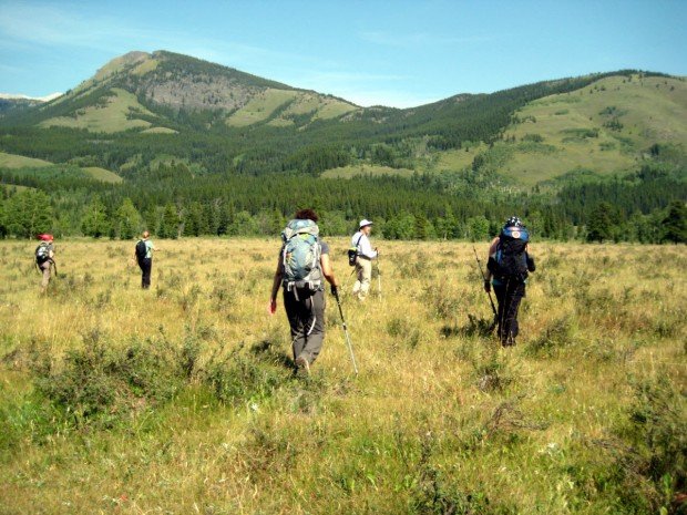
Waihee Ridge Trail, Kahului
Kahului is located in Maui Island on Hawaii and is the largest city of the Island. It is considered to be a shopping destination because there are several major stores and malls.
Home > MOUNTAIN SPORTS > Extreme Hiking / Hiking > Strawberry, Sonora
Hiking trails are spread everywhere across the mountains. There is something for everyone in the Sonora Pass region, as there are all kind of trails, easy, intermediate and high elevation and also long day adventures. One of the best trails to hike is Pinecrest to Strawberry.
It is a 1.8 mi/2.9 km, easy trail with a 300 ft/91.4 m elevation loss. After you reach Pinecrest Lake near the marina, just follow the trail to the dam. Start descending the trail and although you might find it difficult, watch over for the orange blazes, painted on the trees. The trail soon joins a dirt road.
Afterwards, it becomes a ¼ mi/0.4 km, paved road to Strawberry. Keep in mind that if you listen to a horn, you should get to higher ground, because water will be released from the dam. When you are at the lake, stand on the rocks and have lunch, while dipping your feet into the cool water.

Kahului is located in Maui Island on Hawaii and is the largest city of the Island. It is considered to be a shopping destination because there are several major stores and malls.
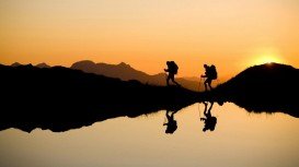
Wenatchee is the largest city of Chelan County, located in North Central Washington and lies on the west side of the Columbia River. The city is also known as the Apple Capital of the world, due to the valley's apple cultivations.
Mojacar is a municipality, located in 90 km/56 mi away from the center, in the southwest of Almeria province. This village lies between Carboneras and Garrucha, bordering the Sierra Cabrena mountains and the Mediterranean sea. The village has been inhabited by Phoenicians, Greeks and Romans throughout the ancient times, leaving as a legacy behind their architecture style. The whole village is build on the top of the hill with white traditional buildings surrounded by a big labyrinth of small narrow streets.
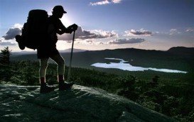
Amathole is an area with stunning scenic beauty and rich in history. Located in the Eastern Cape, it has diverse landscapes ranging from mountains, rivers, beaches, forests and estuaries. Hidden gems include the majestic rainforest, which is protected to date. Indigenous forest and breathtaking waterfalls are a must see in this region.
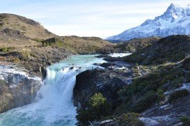
Torres del Paine is located in Southern Patagonia and is one of the numerous spectacular national parks in Chile. It was created in 1959 and UNESCO has listed the location as a Biosphere Reserve since 1978. This place is a wonder land for hikers from all over the world.
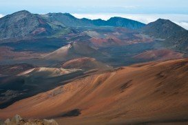
Volcano National park is located at 30 mi/48 km in the southwest of Hilo Town in Hawaii. The park was established in 1916 and is a combination of unique ecosystems and diverse environments that range from the sea to the summit of the world's biggest volcano, Mauna Loa, as well as Kilauea witch is the world's most active volcano.

Mammoth Lakes is located near Mammoth Mountain, in California’s eastern Sierra about 100 mi/161 km south of Nevada State Line, 9 mi/14.5 km northwest of Mount Morrison, at an elevation of 7880 ft/2402 m, Mono County, California, USA.
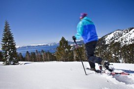
Northstar California is a ski resort, located near Truckee, California, USA. It is a very big ski resort, covering 3170 skiable acres/12.83 km².

Mammoth Lakes is located near Mammoth Mountain, in California’s eastern Sierra about 100 mi/161 km south of Nevada State Line, 9 mi/14.5 km northwest of Mount Morrison, at an elevation of 7880 ft/2402 m, Mono County, California, USA.
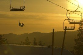
Boreal Mountain Ski Resort is a ski area located in Soda Springs, near Lake Tahoe, California, USA. Nearest city is Truckee and the resort is on Highway 80, in the west of the city.
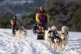
Tamarack Lodge Resort is located in Mammoth Lakes, near Mammoth Mountain, in California’s eastern Sierra about 100 mi/161 km south of Nevada State line Mono County, California, USA.
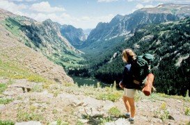
Bear Valley is a ski area located near Angels Camp, on highway 4, between Lake Tahoe and Yosemite, approximately 3 hours southeast of Sacramento, California, USA.
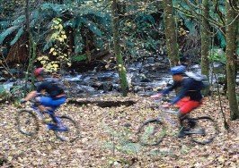
Sonora Pass is located near Pinecrest, Tuolumne County, California, USA. It is off of Highway about 60 mi/96.5 km east of Sonora.
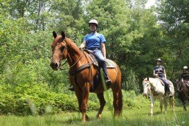
Sonora Pass is located near Pinecrest, Tuolumne County, California, USA. It is off of Highway about 60 mi/96.5 km east of Sonora.

