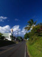
Honokaa town is located in the Hamakua Coast, at 40 mi/64 km in the north of Hilo. The area is a historic district of Big Island in Hawaii because the town's economy was once based on sugar production from the Hamakua Sugar Company, until 1994.
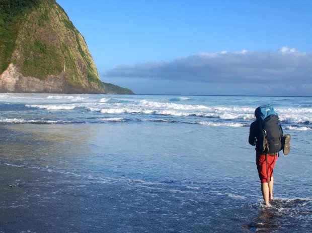
After that, the town became a touristic destination with the beautiful Waipio Valley and Kalopa Native Forest State. Waipio Valley is 1 mi/1.6 km across and about 5 mi/8 km deep, surrounded by mountains with impressive waterfalls and green fields. Waipio Valley Trail starts at the end of Honokaa Rd, where you come across a rocky and steep road leading down to the valley floor and ends at a stream. This road is only accessible with a 4wd but if you don’t have one, you can walk down and start enjoying the view. It is 3 mi/5 km long, about two hours hike and requires good hiking skills.
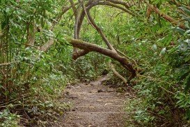
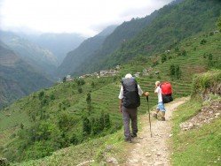
Waipio valley is one of Big Island’s most impressive places. You hike over streams, dazzling nature, green fields, huge trees, wild horses and the highest waterfall in Hawaii (1400 ft/426 m high). A breathtaking view rewards the hiker at the end of the trail, when looking down the valley and the Pacific Ocean.
Hikers should wear hiking boots, and bright colored clothing if it is hunting season in the valley. Take food and water with you, although there are a lot of streams on the way. For accommodation you can either stay in Hilo town or choose a hotel in Honokaa Town with a great view of Waipio Valley.
