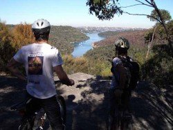
Manly Dam, Manly
Manly is a suburb of northern Sydney. Manly Dam is ideal for those seeking for off-road mountain bike experience.
Home > MOUNTAIN SPORTS > Mountain Biking > Lyons Reservoir – Railroad Grade, Sonora
A popular sport at Sonora Pass is mountain biking. There are mountain biking trails along the Sonora Pass highway. You will find everything you need from gentle, railroad grades to steep, single tracks. There are great logging roads, perfect to explore.
Purchase a map of Stanislaus National Forest at the ranger station in MiWuk or Pinecrest and also a map of Toiyabe National Forest at the Bridgeport ranger station. One of the favorite trails is Lyons Reservoir – Railroad Grade. It is a 4.5 mi/7.2 km, moderate trail with elevation gain of 200 ft/61 m.
It is a gentle trail to Lyons Reservoir, that follows the old Sugar Pine Railroad grade. In late spring, it is open even at an elevation of 4000 ft/1219 m. Lyons is a beautiful lake to visit. Hike around the lake, it’s on an easy level trail across the dam.
At the south end of the lake is the dam, having a dramatic spill way that drains the lake into a magnificent picturesque canyon below the dam. In late summer and fall the lake drops, as water is used by the Tuolumne water district.

Manly is a suburb of northern Sydney. Manly Dam is ideal for those seeking for off-road mountain bike experience.
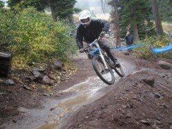
Northstar California is a ski resort, located near Truckee, California, USA. It is a very big ski resort, covering 3170 skiable acres/12.83 km².
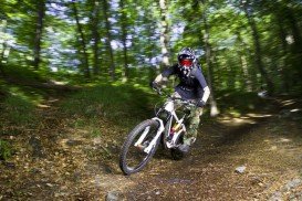
Almeria is a province of the Autonomous Community of Andalusia, between Enix, Pechina and Nijar. With mountain sierras and 40 km / 25 mi seacoast terrain, Almeria is a great destination for extreme sport enthusiasts.
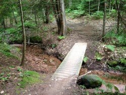
Houghton is located in Michigan’s Upper Peninsula and is considered to be one of the “100 Best Small Towns in America”. The city’s culture and cuisine were influenced by the European immigrants, who reached the area to work in the copper mines. Houghton, due to its location, offers to visitors many recreational moments and a grand variety of sports including hockey, snowmobiling, hiking, mountain biking and climbing.
Meridian, the sixth largest city of Mississippi, except of hosting numerous cultural events, offers great opportunities to visitors for recreation all year long. It was established in 1860, rebuilt after the Civil War and became the largest city of Mississippi between 1890 and 1930. It contains many parks with tennis courts, softball fields, swimming pools etc. Visitors can also experience water skiing, hiking and camping at Bonita Lakes area and Okatibbee Lake.
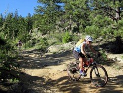
Longmont is located northeast of the county seat of Boulder, about 31 mi/49.9 km north-northwest of the Colorado state capitol in Denver. It is a home rule municipality in Boulder, Weld Counties in the U.S. state of Colorado.
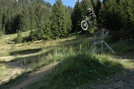
Bear Valley is a ski area located near Angels Camp, on highway 4, between Lake Tahoe and Yosemite, approximately 3 hours southeast of Sacramento, California, USA.
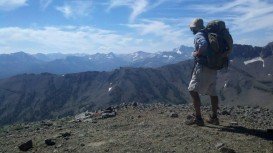
South Lake Tahoe is located on the California–Nevada border, El Dorado County, California, USA.
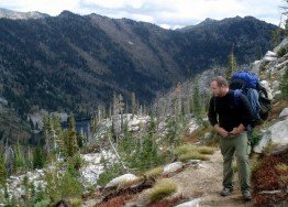
Bear Valley is a ski area located near Angels Camp, on highway 4, between Lake Tahoe and Yosemite, approximately 3 hours southeast of Sacramento, California, USA.

Tamarack Lodge Resort is located in Mammoth Lakes, near Mammoth Mountain, in California’s eastern Sierra about 100 mi/161 km south of Nevada State line Mono County, California, USA.
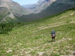
Sonora Pass is located near Pinecrest, Tuolumne County, California, USA. It is off of Highway about 60 mi/96.5 km east of Sonora.
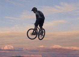
Sonora Pass is located near Pinecrest, Tuolumne County, California, USA. It is off of Highway about 60 mi/96.5 km east of Sonora.

Sonora Pass is located near Pinecrest, Tuolumne County, California, USA. It is off of Highway about 60 mi/96.5 km east of Sonora.
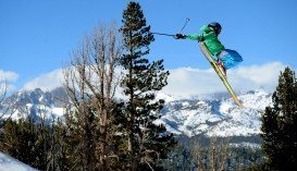
Mammoth Mountain is located in California’s eastern Sierra, at 100 mi/161 km south of Nevada State line and 50 minutes from the Eastern Gate of Yosemite National Park.

