Mount Shasta is located in northern California, east of Interstate 5 along SR89, between Mount Shasta city and McCloud city, California, USA.
Mount Shasta is inside Shasta – Trinity National Forest and the second highest (14163 ft/4317 m) volcano in the Cascade Range. Mount Shasta is the perfect place to test your physical abilities and determination in mountaineering, by climbing the second highest volcano in the US. The mountain is a veritable utopia for mountaineers.
It offers a magnificent vertical relief, reliably sunny weather and relatively mild terrain. The weather offers prime climbing conditions. You can start your three day course at the base of 8000 ft/2438 m and be taught the basics for beginners in skiing or snowboard mountaineering.
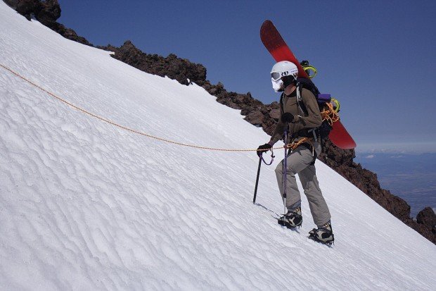
The course is about how to use ski crampons, ice ax self arrest, climb with skins etc. When the training is over, the students wake up at 2-3 a.m. and zigzag about 5000 vertical ft/1524 m up to the peak, in a confusion of boulders, big enough to scramble on top and in breathtaking views, stretching around for 125 mi/201.1 km.
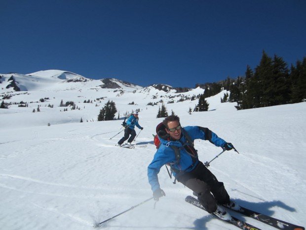
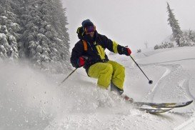
You will be rewarded by being on one of the longest, continual ski descents in the Lower 48. You can also ride a 7000 vertical ft/2134 m, down a consistent 35-45 degree slope to the trailhead. It is highly recommended to plan your trip carefully, carry crampons and ax to traverse hard snow and ice fields.
You should better arrange having a guide with you or mountaineering instruction in safe backcountry skills. Permits are mandatory, so purchase them along with maps of the area from Mt. Shasta District Ranger Station.
