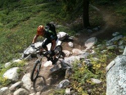
Piute Meadow, Sonora
Sonora Pass is located near Pinecrest, Tuolumne County, California, USA. It is off of Highway about 60 mi/96.5 km east of Sonora.
Home > OTHER SPORTS > Horseback Riding > Ebbetts Pass, Angels Camp
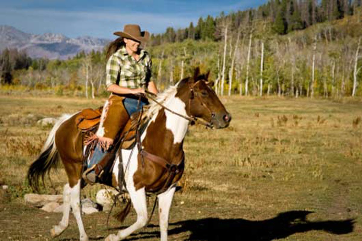
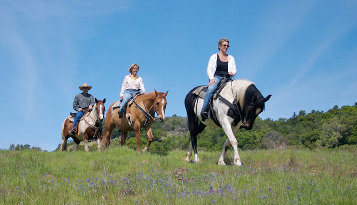
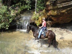
Near Bear Valley lies Ebbetts Pass, which is perfect for horseback riding. There are miles and miles of dirt roads and wilderness trails, that crisscross the Ebbetts Pass region. There is a big variety of trails for horseback riders to choose, like from gentle, amble level dirt roads to scrambles up, steep mountain terrain, which can be really challenging.
One of the most popular Equestrian Trails is Arnold Rim Trail, a 10.5 mi/16.9 km trail, which starts at White Pines Lake, west to Sheep Ranch Road, near Avery. It makes a great ride for equestrians and follows San Antonio Creek, crossing from the north side to the south, approximately 2.5 mi/4 km south of White Pines Lake. Another path is Black Springs to Cabbage Patch, an 11 mi/17.7 km, one way route with only several hundred feet elevation.
When you reach 6700 ft/2042 m in elevation, the road is open even in mid May. Hermit Valley to Blue Lakes is another trail, which is an about 7 mi/11.3 km, one way ride on dirt road. The trail climbs up approximately 800 ft/244 m out of Hermit Valley and then easy drops to cross Deer Creek, at about 4 mi/6.4 km before climbing another 600 ft/183 m to Blue Lakes. Pacific Valley to Highland Lakes is a 10 mi/16 km, one way trail that climbs up to Highland Lakes.
It starts at the Pacific Valley and ends at Blue Lakes. Another trail is Arnot Peak Loop, a 15 mi/24.1 km loop that starts at Arnot Peak, it takes you out along the Pacific Crest Trail and then into the Disaster Creek watershed, right before climbing back to Highland Lakes.
When you reach the summit near Golden Canyon, stop for a while and admire the breathtaking panoramic view. Last, Wolf Creek to Bull Lake is an 8.5 mi/13.7 km trail to Bull Lakes, that climbs from 6400 to 8800 ft/1951 to 2682 m near the lake.

Sonora Pass is located near Pinecrest, Tuolumne County, California, USA. It is off of Highway about 60 mi/96.5 km east of Sonora.
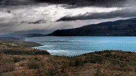
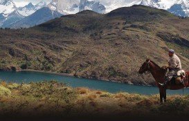
Torres del Paine is located in Southern Patagonia and is one of the numerous spectacular national parks in Chile. It was created in 1959 and UNESCO has listed the location as a Biosphere Reserve since 1978. This place is a wonder land for nature enthusiasts from all over the world.
Yosemite National Park is located near Mariposa, California, USA.
Bear Valley is a ski area located near Angels Camp, on highway 4, between Lake Tahoe and Yosemite, approximately 3 hours southeast of Sacramento, California, USA.
Sonora Pass is located near Pinecrest, Tuolumne County, California, USA. It is off of Highway about 60 mi/96.5 km east of Sonora.
South Lake Tahoe is located on the California–Nevada border, El Dorado County, California, USA.
Northstar California is a ski resort, located near Truckee, California, USA. It is a very big ski resort, covering 3170 skiable acres/12.83 km².
Boreal Mountain Ski Resort is a ski area located in Soda Springs, near Lake Tahoe, California, USA. Nearest city is Truckee and the resort is on Highway 80, in the west of the city.
South Lake Tahoe is located on the California–Nevada border, El Dorado County, California, USA.
Tamarack Lodge Resort is located in Mammoth Lakes, near Mammoth Mountain, in California’s eastern Sierra about 100 mi/161 km south of Nevada State line Mono County, California, USA.
Sonora Pass is located near Pinecrest, Tuolumne County, California, USA. It is off of Highway about 60 mi/96.5 km east of Sonora.